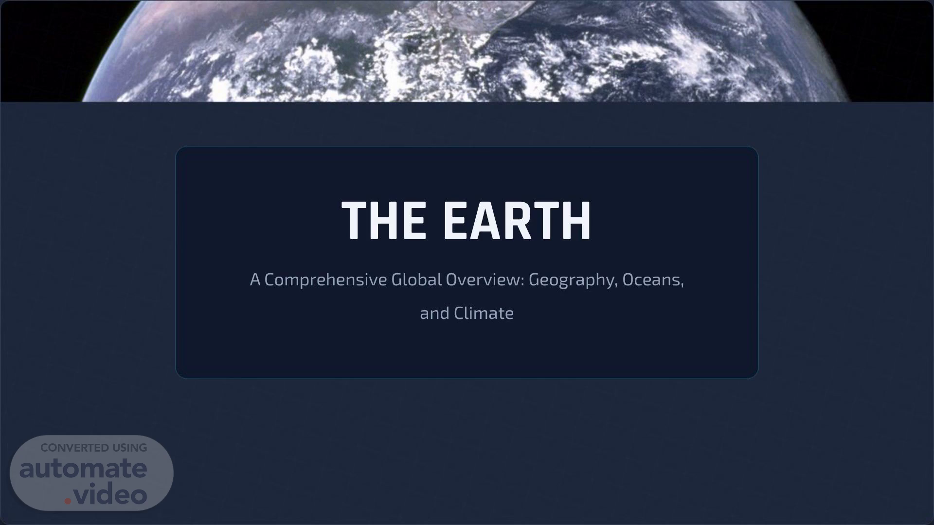
Scene 1 (0s)
[Audio] THE EARTH A Comprehensive Global Overview: Geography, Oceans, and Climate.
Scene 2 (7s)
[Audio] PHYSICAL STRUCTURE Exploring the fundamental composition of our planet, from its vast oceans to its diverse continental landmasses..
Scene 3 (16s)
[Audio] THE BLUE PLANET HYDROSPHERE LITHOSPHERE Approximately 71% of the Earth's surface is The remaining 29% consists of continents and covered by water. This vast ocean system regulates islands. This land provides the habitat for the global climate, supports immense biodiversity, terrestrial life and human civilization, featuring and is crucial for the water cycle. diverse topography from mountains to plains..
Scene 4 (47s)
[Audio] THE 7 CONTINENTS Asia: The largest and most populous continent. Africa: Known for the Sahara Desert and Nile River. North America: Diverse climates from Arctic to Tropical. South America: Home to the Amazon Rainforest. Antarctica: The icy, uninhabited southern continent. Europe: Historically rich with high population density. Australia: The smallest continent, famous for the Outback..
Scene 5 (1m 17s)
[Audio] THE 5 OCEANS Pacific Ocean: The largest and deepest ocean, covering more area than all land combined. Atlantic Ocean: Separates the Americas from Europe and Africa; saltiest major ocean. Indian Ocean: Known for monsoon weather patterns; bounded by Asia, Africa, and Australia. Southern Ocean: Surrounds Antarctica; defined by the Antarctic Circumpolar Current. Arctic Ocean: The smallest and shallowest, located around the North Pole..
Scene 6 (1m 54s)
[Audio] MAPPING A SPHERE THE PROJECTION PROBLEM Transforming a 3D sphere onto a 2D plane inevitably causes distortion. No flat map is perfectly accurate. Mercator Projection: Preserves direction (good for navigation) but drastically distorts size near the poles. Greenland appears as large as Africa. Robinson Projection: A compromise projection that minimizes distortion for a more visually pleasing and accurate representation of the world..
Scene 7 (2m 27s)
[Audio] GLOBAL POPULATION DISTRIBUTION 8.0+ BILLION PEOPLE The human population is unevenly distributed. Over 60% of the world's population lives in Asia, with China and India alone accounting for more than a third. Population density is highest in coastal regions and river valleys, while deserts, mountains, and polar regions remain sparsely populated..
Scene 8 (2m 53s)
[Audio] CLIMATE ZONES TROPICAL TEMPERATE POLAR Located near the Equator. Characterized by Found between the tropics and polar Located at the far North and South poles. high temperatures and significant rainfall regions. Distinct four seasons with moderate Extreme cold, ice caps, and long periods of year-round. Home to diverse rainforests. rainfall and temperature variations. darkness or daylight..
Scene 9 (3m 18s)
[Audio] LARGEST COUNTRIES BY LAND AREA Russia is by far the largest country, spanning Eastern Europe and Northern Asia. The next three—Canada, China, and the USA—are comparable in size..
Scene 10 (3m 32s)
[Audio] QUESTIONS? Thank you for exploring the world with us..
Scene 11 (3m 39s)
[Audio] IMAGE SOURCES https://upload.wikimedia.org/wikipedia/commons/thumb/9/97/Continental_models-Australia.gif/500px-Continental_models-Australia.gif Source: en.wikipedia.org https://study.com/cimages/multimages/16/oceans1988554357227961484.jpg Source: study.com https://www.mdpi.com/ijgi/ijgi-09-00196/article_deploy/html/images/ijgi-09-00196-g005.png Source: www.mdpi.com https://upload.wikimedia.org/wikipedia/commons/b/b7/PopulationDensityMapPerSquareKilometre.png Source: wikipedia.org https://cdn.britannica.com/90/3890-050-F451C580/rainforest-coast-lowland-rainforests-Ecuador-tropics-evergreen.jpg Source: britannica.com https://images.stockcake.com/public/6/8/4/68455643-48d4-452f-95c0-53e13da2bd06_large/autumn-river-serenity-stockcake.jpg Source: stockcake.com.
Scene 12 (4m 19s)
[Audio] IMAGE SOURCES https://news.harvard.edu/wp-content/uploads/2021/09/iStock-antarctica-anyaberkut.jpg Source: news.harvard.edu https://upload.wikimedia.org/wikipedia/commons/9/97/The_Earth_seen_from_Apollo_17.jpg Source: en.wikipedia.org.