Scene 1 (0s)
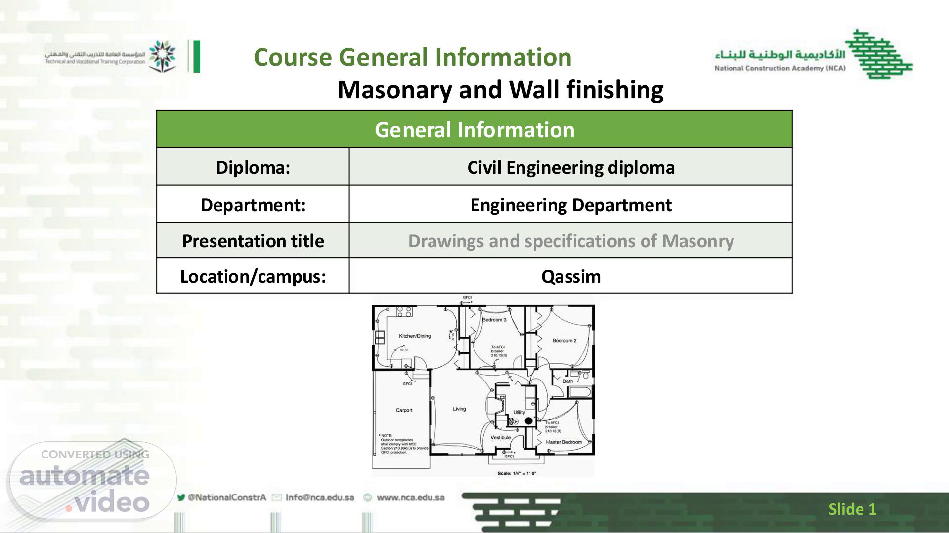
[Audio] Course General Information Masonary and Wall finishing General Information Diploma: Civil Engineering diploma Department: Engineering Department Presentation title Drawings and specifications of Masonry Location/campus: Qassim Slide 1.
Scene 2 (15s)
[Audio] Introduction In the construction industry we all know that nothing can be done on any construction site without consulting a plan first as it serves as our guideline Therefore, it is important to know what it consists of and how to use it I this presentation we will be looking at different views of plans Symbols of different apparatus and materials Please feel free to ask question at any given time as we cover this section Slide 2.
Scene 3 (48s)
[Audio] Vocabulary Apparatus: In construction drawings, this refers to equipment or machinery that may be illustrated or specified for use on-site, such as cranes, scaffolding, or specialized tools. Dwelling: Construction drawings for dwellings will include floor plans, elevations, and sections that illustrate the layout and design of residential buildings, showing rooms, entrances, and structural elements. Specifications: These are detailed notes or documents accompanying construction drawings that outline materials, workmanship standards, and installation methods required for the project. Manholes: Drawings will indicate the locations and dimensions of manholes, often including details for access covers, the type of material, and connections to underground utilities. Direction of true north: A symbol on construction drawings that indicates true north, essential for understanding the orientation of the building and its relationship to the site. Slide 3.
Scene 4 (1m 58s)
[Audio] Lesson Objectives Concepts and functions of drawings Uses of Drawings and Symbols Interpretations of scale and dimensions of a drawing Uses of specifications and standards Slide 4.
Scene 5 (2m 10s)
[Audio] Objective one Identify drawings and symbols used on a construction Drawings are identified in terms of type and application for a construction process The different types of drawing necessary for the completion of construction are: . Slide 5.
Scene 6 (2m 30s)
[Audio] Objective one Site plan A Site plan shows the location of the building in relation to the boundaries of the plot, as shown in figure 1.2 below. Site plans should be drawn to a scale of not less than 1: 1000 and should show : The boundaries of the site, and the means of access to the site The position of the site in relation to the neighbouring streets All existing building standing on the site The direction of North The dimensions of the proposed space to be left between the building and the boundaries of the plot on all sides The proposed drainage lines and location of manholes Block plan This shows the outline of the building plot or area in relation to the main roads of the town. It helps the learner to locate the plot, as shown below. Block plans are mainly used by town planners Slide 6.
Scene 7 (3m 24s)
[Audio] Objective one Floor plan Floor plans show the arrangements of different rooms (spaces) and passages. Each floor must be provided with a floor plan, unless each floor is identical. A floor plan is usually a sectional plan about the eye level of the observer and must give the following details: The direction of north The sizes and spacing of all supporting members and the thickness of all the walls The exact location of doors, windows, cupboards, water closets, sinks, baths or any other features that can be seen (these objects must be indicated by the appropriate standard symbols) The overall dimensions and sizes of individual parts. Slide 7.
Scene 8 (4m 11s)
[Audio] Objective one Cross-sections These are vertical sectional elevations through the building. The sectional plane or planes must be chosen so that they can cut (and show) as many details as possible. The following details must be given: Details of construction materials (which may be shown symbolically), together with the thickness of each The heights of the doors, windows, cupboards and ceilings The depths and widths of foundations, beams, walls and floors The drainage arrangement for, and the slope of, the roof The street and ground elevation Details of staircases Slide 8.
Scene 9 (4m 52s)
[Audio] Objective one 1. Representation of Materials Recommended methods of indicating materials on drawing are shown in the figure below. They should be used only when confusion is likely to occur in the interpretation of drawings, but in all cases they should be accompanied by a descriptive note, stating the type of material, thickness, et cetera Existing and proposed work should be clearly indicated. On scales 1:100 or smaller, concrete should be shown black and brickwork gray. Colouring is costly, laborious, confusing when printed in grayscale and conducive to error and consequently to be avoided. Hatching is preferable where it is necessary to show different materials. Slide 9.
Scene 10 (5m 38s)
[Audio] Objective one Scales are interpreted and measurements converted in terms of actual dimensions required. A map is a hardcopy representation of the earth's surface and it is essential that a scale bar and scale ratio be present on the map to convey the reduction factor. This enables the map user to measure a distance on the map and determine the distance on the ground. These days' maps are usually produced under the metric system which makes it easy to perform this task. Maps are usually produced at standard scale factors of (say) 1:10000 or 1:50000 or 1:100000 and all you need to do is take a measurement on the map (in mm) and multiply that figure by the scale factor to determine the distance on the ground. The scale of every drawing must be stated. Where two or more scales are used on the same sheet these should be particularly clearly indicated. Choice of scale Careful consideration should be given to the choice of scale, and factors which govern the choice are: The need to communicate both accurately and adequately the information necessary for carrying out the work. The need to achieve economy of effort and time in preparation of drawing. The character and size of the paper. The desirability of keeping the sheets for one project to one site. Slide 10.
Scene 11 (7m 5s)
[Audio] Below is the scale for different types of drawing: Objective one Type of drawing Scale Sketch drawing Scales will vary but it is recommended that preference be given to those used in location drawing. Location drawing Block plan 1: 2000 1: 1000 Site Plan 1: 500 1: 200 General location 1: 200 1: 100 1: 50 Working drawing Component 1: 100 drawings 1: 50 1: 30 Ranges 1: 20 Slide 11.
Scene 12 (7m 43s)
[Audio] : Objective one A schedule usually combines two categories of information: A specification of a material, component or activity The location of these specifications As a guide, the following are typical subjects for schedule: Doors, including frames and ironmongery Finishes, decoration and colours Fixed joinery fittings other than doors and windows Grilles, registers and similar items Lintels, copings and similar precast concrete items Electrical fitting and outlets Slide 12.
Scene 13 (8m 16s)
[Audio] : Objective one Slide 13. Objective one Slide 13 :.
Scene 14 (8m 22s)
[Audio] Questions In 1. What is the primary purpose of construction drawings? 1. A) To provide aesthetic appeal 2. B) To communicate detailed information about a project 3. C) To serve as a marketing tool 4. D) To document the history of a building 2. Which symbol is commonly used to indicate true north on a drawing? 1. A) A star 2. B) A compass rose 3. C) A circle 4. D) An arrow 3. What does a scale of 1:50 mean in construction drawings? 1. A) 1 unit on the drawing equals 50 units in reality 2. B) 50 units on the drawing equals 1 unit in reality 3. C) The drawing is twice the size of reality 4. D) There is no correlation Slide 14.
Scene 15 (9m 20s)
[Audio] Summary In this lesson we have covered different building plans with elevations ,the drawing symbols found on plans ,how to determine the scaling used ,reding a schedule for windows doors gates etc ,and small intro to types of masonry bonds it is important to apply this knowledge to ensure accuracy of your dwelling when building according to you client's desires Slide 15.