Scene 1 (0s)
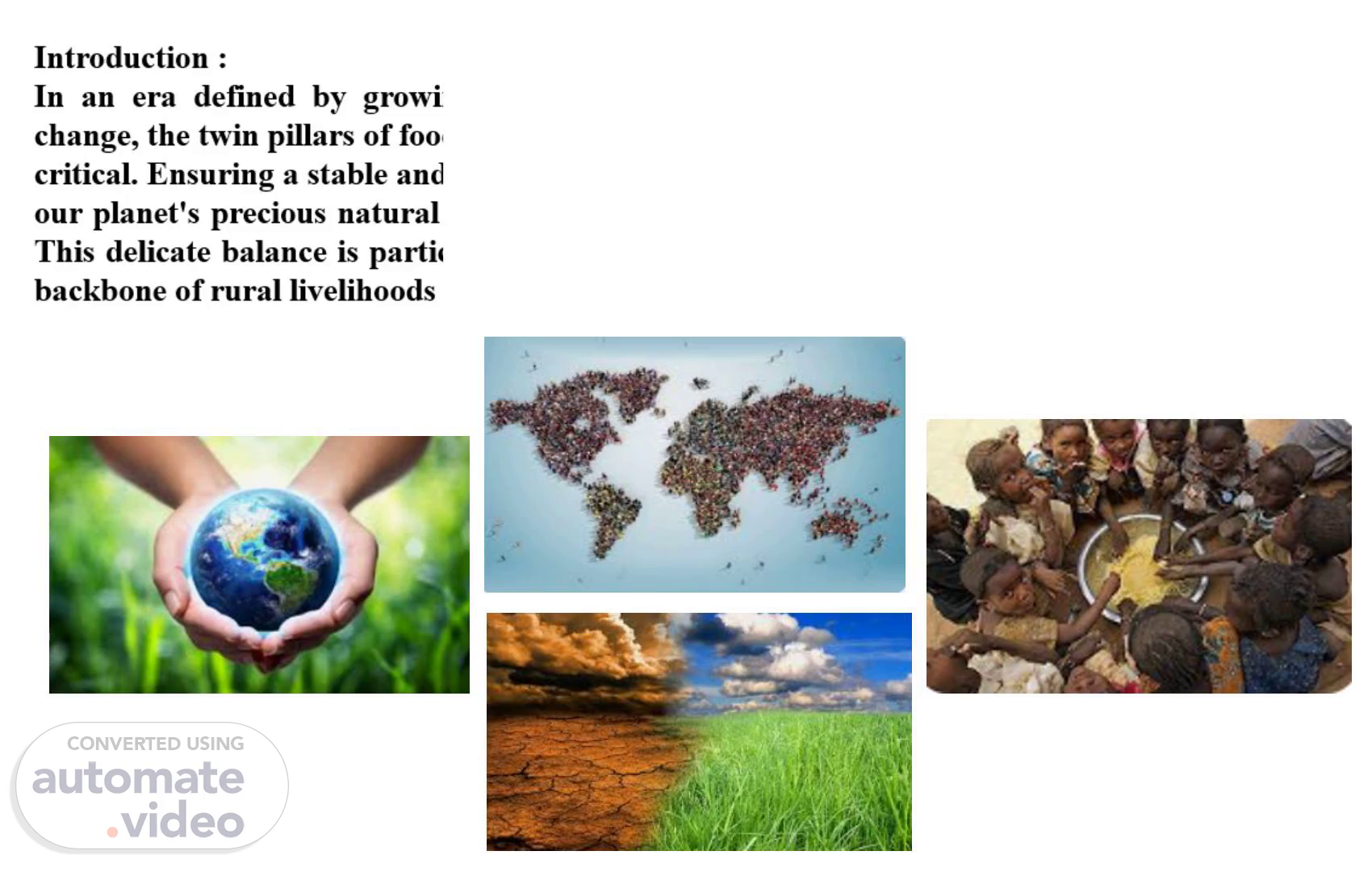
[image]. [image]. [image]. [image]. Introduction : In an era defined by growing global populations and the undeniable impacts of climate change, the twin pillars of food security and environmental preservation have never been more critical. Ensuring a stable and sufficient food supply for all, while simultaneously safeguarding our planet's precious natural resources, presents one of humanity's most pressing challenges. This delicate balance is particularly vital in nations like Algeria, where agriculture forms the backbone of rural livelihoods and contributes significantly to the national economy..
Scene 2 (24s)
[image]. Developed countries have long recognized the transformative power of technology in addressing these challenges. A cornerstone of their success has been the widespread adoption of satellite imagery and advanced geospatial analytics in the agricultural sector..
Scene 3 (37s)
By leveraging high-resolution satellite data, farmers and agricultural agencies in these regions can: Accurately identify field locations and generate detailed distribution maps by crop type, which enables better resource allocation, zoning, and crop rotation strategies. Monitor crop health with unprecedented accuracy, detecting anomalies and potential issues long before they are visible to the naked eye. Optimize irrigation and fertilization, applying resources precisely where and when needed, thereby minimizing waste and reducing environmental impact. Forecast yields more reliably, enabling better planning and preventing food shortages. Map land use changes, providing crucial insights for sustainable land management and policy development..
Scene 4 (1m 5s)
By integrating such technologies into national agricultural systems, countries like Algeria can make significant strides toward more resilient, efficient, and sustainable food systems—paving the way for informed decision-making at all levels, from local farmers to national policymakers..
Scene 5 (1m 20s)
[image] Se connecter Nom d'utilisateur Mot de passe Connexion.
Scene 6 (1m 29s)
[image] Large-seale crops Arborieuliure Anin•al farming Adn•inisiraiion & Siaiisiies source Manage'.
Scene 7 (1m 46s)
[image] File Crop Categories Cereals Legumes Vegetable Land In Rest Abandoned Land Apply Filters Edit View Tools Mila, Algeria Add Help Stationide pompage de Bemißarour rage de Map Layers O Satellite O Terrain.
Scene 8 (2m 5s)
[image]. —with further refinement into subcategories like wheat, corn, and barley under cereals. This structured classification supports targeted analysis and informed decision-making at every level..
Scene 9 (2m 17s)
[image] File Crop Categories Cereals Wheat Delete Modify Shift Edit Tools Add Help Station'de pompaqe Wheat Field 10; 4301001 Area: '2.5 Daw. 2024-10-15 Esurn*d 4.2 Show border View Analysis Add administrative information View information Download information Legumes Mila Algeria Map Layers O Satellite O Terrain @ Hybrid.
Scene 10 (2m 42s)
[image] File Crop Categories Delete Modify Shift Edit View Tools Add Help Show border View Analysis Add administrative information View information Download information Legumes Mila Alg Vegetable General Health Analysis Report Analysis of NDVI Analysis Of MSI Analysis Of NDRE Analysis Of LAI Depth analysis Map Layers O Satellite O Terrain @ Hybrid.
Scene 11 (2m 59s)
[image] File Crop Categories Cereals Wheat • ageløel A ageløea Corn ageløe5 Barley agø1øø6 43mee7 Legumes Edit View Tools Mila, Algeria Add Help Health Analysis Report • Plot ID:4301001 Date: 3-jan-2025 Ndvi: Stable (OA Low risk) Moisture: 20% - Within optimal range Disease: Low • Irrigation: 89% Fertilizer. Close Map Layers @ Satellite O Terrain O Hybrid.
Scene 12 (3m 12s)
[image] Crop Categories Cereals Wheat 43010m • Corn 4301005 Barley neløø6 ageloøJ Legumes NDVI Bar Graph Date: 03-jan-2025 Plot ID: 4301001 Close Mila, Algeria Map Layers Satellite C) Terrain @ Hybrid.
Scene 13 (3m 21s)
[image] File Crop Categories Cereals • Wheat 4301001 A corn 4301004 4301005 Barley • ageloø6 Legumes Edit View Tools Mila, Algeria Add Help NDVI Bar Graph Date: 03-jan-2025 Plot ID: 4301002 Close Map Layers O Terrain @ Hybrid.
Scene 14 (3m 30s)
[image] u!euax O avuaWS @ den epa61V 'el!YN sacun6a1 seet0Ev vøet0EV Luo) L tøøtøtv V røet0EV span) doo dlöH s 1001 Mö!A.
Scene 15 (3m 48s)
[image] File Wheat • a»otøøt A a»otem Edit View Tools Add Help Corn Legume- Beans Peas Delete Modify Shift Show border View Analysis Add administrative information View information Download information Mila. Algeria General Health Analysis Report Analysis of NDVI Analysis Of MSI Analysis Of NDRE Analysis of LAI Depth analysis Map Layers O Satellite C) Terrain @ Hybrid.
Scene 16 (4m 13s)
3/The Arboriculture Interface: will provide the same services as previously explained, taking into account some of the specificities imposed by this type of agriculture, such as calculating the number of trees, their age group, etc..
Scene 17 (4m 29s)
[image] Large-seale crops Arborieuliure Anin•al farming Adn•inisiraiion & Siaiisiies source Manage'.
Scene 18 (4m 41s)
[image] Klddy pue7 K41n0d 6u1uuey dBöqs 611! uuey ölne).
Scene 19 (4m 47s)
and we will also try to find a solution for the issue of overgrazing by developing an algorithm that determines the best match between the grazing areas and the needs of each farmer in a way that ensures that each farmer's losses are minimized in terms of transportation and ensures good nutrition for the herd according to the number while maintaining the opportunity to regrow the pasture, by analyzing the potential of each pasture,.
Scene 20 (5m 8s)
( Real time Alerts Rea Field Alerts Real Time Alerts a Real Alerts Recomended Management Advice Aystinderv 31 27 tm Soomüzer reate toade hot Fertization Stregie.
Scene 21 (5m 25s)
Conclusion : The journey we embark on with our Project is not just about adopting new technology; it's about embracing a fundamental shift towards a more sustainable and secure agricultural future for Algeria. As we've seen, the imperative to integrate remote sensing technologies into our agricultural sector is clearer than ever. By harnessing the power of high-resolution satellite data and advanced geospatial analytics, we can move decisively towards more environmentally friendly practices and ensure robust food security for our growing population. Our Project stands as a testament to this commitment. It is a strategic partner empowering the Directorate of Agricultural Services, and indeed, every farmer, to unlock unprecedented efficiency, insight, and productivity..
Scene 22 (5m 54s)
[image]. In essence, our Project is more than a software solution; it represents our unwavering commitment to a more efficient, sustainable, and prosperous agricultural future . By rigorously applying remote sensing technologies and data-driven insights, we are empowering our agricultural community to make smarter, more environmentally conscious decisions, optimize resource allocation, and ultimately, cultivate a brighter, food-secure tomorrow. This is how we will build resilient, efficient, and truly sustainable food systems, paving the way for informed decision-making at every level, from local farmers to national policymakers..