Scene 1 (0s)
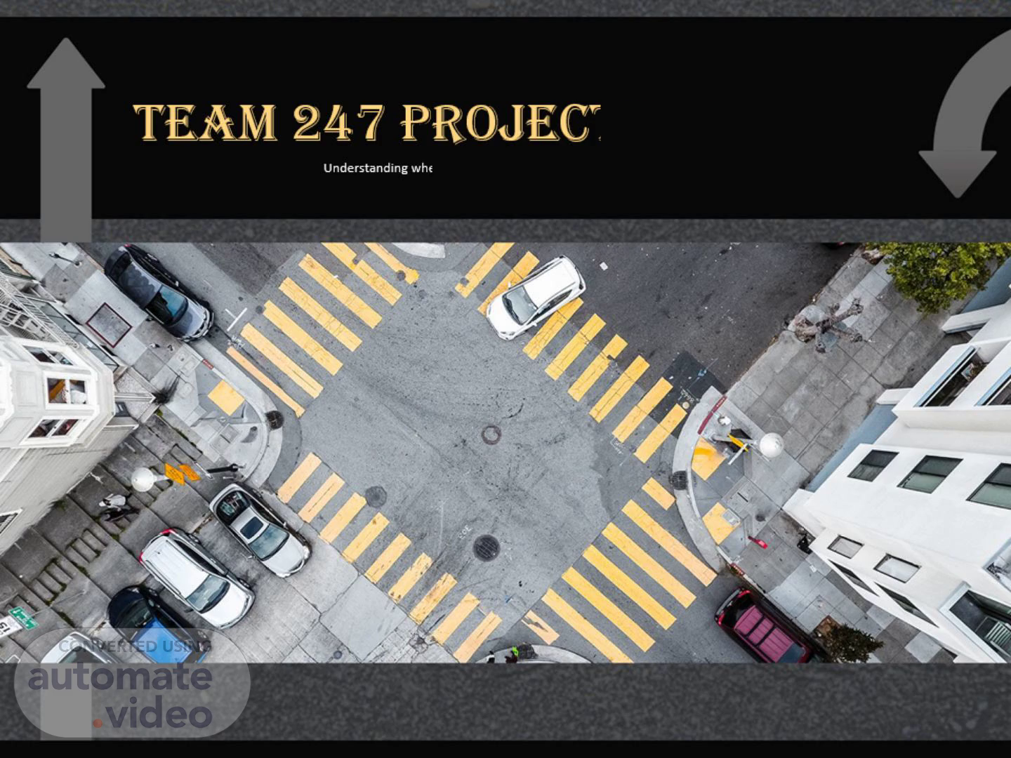
Team 247 Project Proposal. Understanding where, when, and why congestion happens.
Scene 2 (8s)
Motivation. Traffic congestion in Metro Atlanta is often described in general terms: “Rush hour is bad.” “Downtown is always crowded.” “Traffic is unpredictable.” However, these statements do not explain: Which specific locations consistently experience congestion How congestion changes throughout the day or week Whether accidents or weather conditions contribute to delays Our project aims to move from assumptions to data-driven insight..
Scene 3 (27s)
How traffic congestion is analyzed today: Static dashboards displaying average speed or traffic volume Navigation apps focused on shortest-time route optimization Periodic government congestion reports Research models separated from operational tools Key Gaps: 1. Limited Interactivity Users cannot dynamically filter by time of day, weather, or incidents No ability to explore “what-if” scenarios 2. Weak Data Integration Traffic, accidents, and weather are analyzed independently Rarely combined into a unified spatiotemporal framework 3. Limited Transparency Navigation apps optimize routes but do not explain congestion causes Users see outcomes, not underlying patterns.
Scene 4 (53s)
Moving Beyond Static Aggregation Traditional systems rely on average speed or volume metrics. Our approach introduces structured modeling and pattern detection. 1. Multi-Source Data Fusion Integrate traffic volume, weather conditions, and incident data Create a unified computational pipeline Ensure spatial and temporal alignment across datasets 2. Spatiotemporal Modeling Model congestion as a dynamic process Capture how congestion evolves across locations and time periods Analyze hourly or short-interval patterns 3. Density-Based Hotspot Detection Apply clustering algorithms to detect high-impact congestion zones Identify statistically significant congestion clusters Detect frequent congestion corridors 4. Recurring vs. Non-Recurring Congestion Recurring: predictable patterns (e.g., rush hour bottlenecks) Non-recurring: event-driven delays (accidents, severe weather) Differentiate structural congestion from temporary disruptions.
Scene 5 (1m 26s)
Research Questions. Key Questions Driving This Project • How do traffic congestion patterns vary across time and geographic locations in Atlanta? • What relationships exist between traffic incidents, accidents, and weather conditions? • Can interactive spatiotemporal visualization reveal congestion hotspots and mobility trends? • How can these insights support data-driven transportation planning and urban mobility decisions?.
Scene 6 (1m 43s)
Data Sources & Methodology. Data Sources • Atlanta traffic accident records (2016–2023) • Georgia statewide accident datasets • Traffic congestion and delay reports • Weather-related traffic incident data Methodology • Data cleaning and integration from multiple datasets • Spatiotemporal analysis of congestion patterns • Interactive visual exploration using D3.js visualizations • Identification of traffic hotspots and mobility trends.
Scene 7 (1m 58s)
The project will be completed over a 6–8 week development cycle. We begin with data fusion and alignment, making sure traffic, weather, and incident data are integrated consistently across space and time. Next, we implement congestion modeling and hotspot detection to identify meaningful patterns. We then build the interactive dashboard, connecting maps and time-series views into a unified system. Finally, we refine the platform, conduct experimental analysis, and evaluate recurring versus non-recurring congestion. By the end of the project, we aim to deliver: A unified congestion database A repeatable modeling pipeline An interactive prototype Evaluation results demonstrating meaningful insight Ultimately, our goal is to move from disconnected transportation data to a decision-support platform that makes urban congestion more transparent and understandable..
Scene 8 (2m 32s)
Impact and Evaluation. This project is designed to be useful beyond the classroom. City planners and transportation agencies can use the platform to better understand where congestion repeatedly occurs and what factors contribute to it. Instead of relying only on summary reports, they can explore patterns directly. Residents and commuters can gain insight into which areas tend to experience predictable congestion and which delays are event-driven. Businesses and logistics operators can better understand traffic reliability across time. We will evaluate our success in three main ways: Whether the system consistently identifies recurring congestion hotspots Whether statistical analysis shows meaningful relationships between traffic, accidents, and weather Whether the dashboard is clear, intuitive, and easy to interpret The goal is not only technical accuracy, but practical usability..
Scene 9 (3m 6s)
Final Takeaway. From Data to Decision-Making Traffic congestion is often described, but rarely explained. Our project integrates traffic, weather, and incident data into one interactive platform that helps users understand: Where congestion happens When it evolves Why it occurs By combining spatiotemporal modeling with interactive visualization, we aim to make urban congestion transparent, interpretable, and actionable..
Scene 10 (3m 24s)
THANK YOU.