Scene 1 (0s)
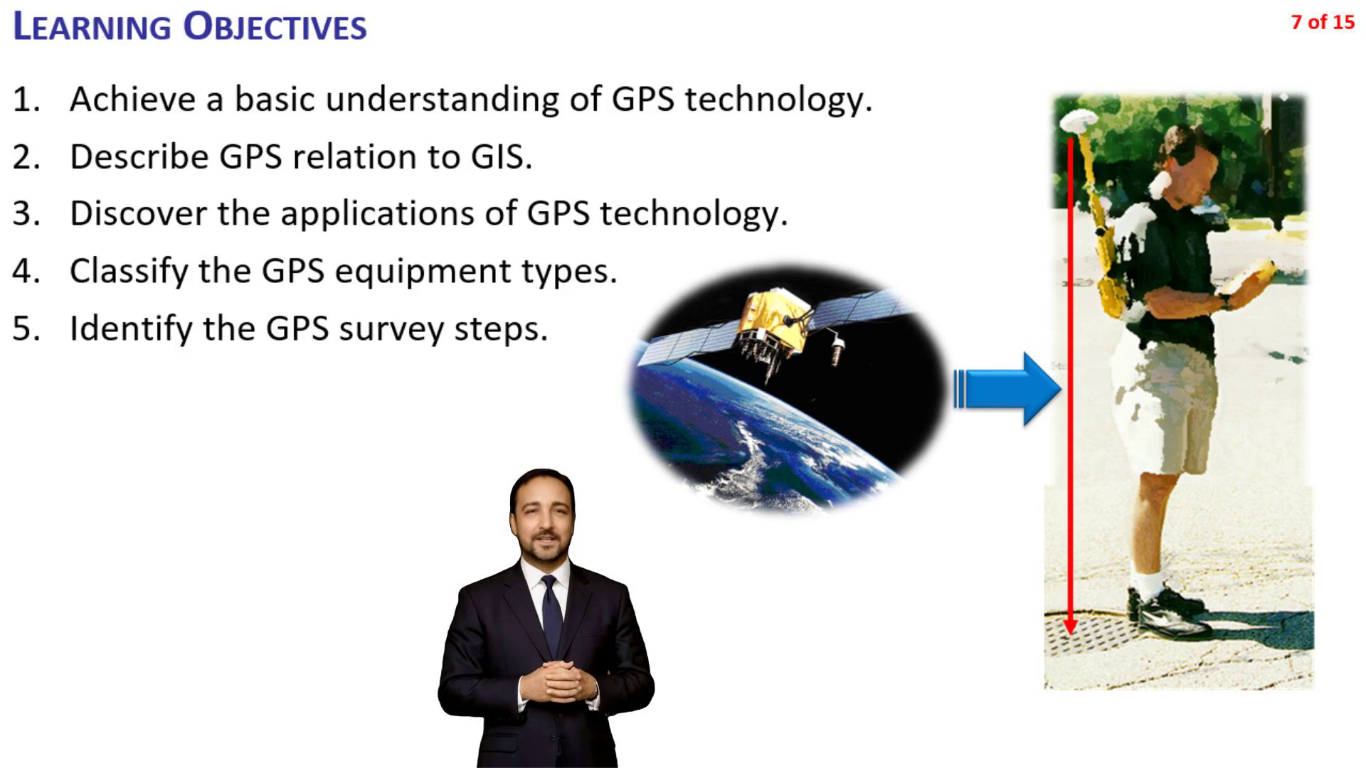
Learning Objectives. Achieve a basic understanding of GPS technology. Describe GPS relation to GIS. Discover the applications of GPS technology. Classify the GPS equipment types. Identify the GPS survey steps..
Scene 2 (1m 29s)
Instructor Sam Eight sections (lectures) Software demos Teaching assistant Nora Video lessons Class activities Quizzes.
Scene 3 (2m 46s)
Course Speakers. This video course is narrated by two people: Instructor Sam: main lecture slides Teaching Assistant Nora: video lessons, class activities and quizzes.
Scene 4 (3m 4s)
Course Speakers. This video course is narrated by two people: Instructor Sam: main lecture slides Teaching Assistant Nora: video lessons, class activities and quizzes.
Scene 5 (3m 49s)
Tips and Trick – Time Management. This video course is approximately 8 hours long (8 PDH). You can pause the video at any time, but we recommend pausing after completing a lecture or section. Lectures typically last about 1 hour, including video lessons and class activities. Lecture slides are usually 1 minute long. If a slide narration is shorter than a minute, the slide will remain for a full minute to give you enough time to read the content. You can pause the video if you need more time to fully understand the material..
Scene 6 (5m 21s)
Tips and Tricks – When Web Links Don’t Work. Some slides have Web links Websites sometimes change or links may become obsolete over time. If a link doesn’t work, use the keywords provided on the slide to search the internet. Example: If gps.gov is unavailable, search: “US government GPS website” or “gps.gov current URL” You can also search by topic, e.g.:“GPS survey applications site:gps.gov” This approach ensures you always find the most up-to-date information..
Scene 7 (6m 22s)
Tips and Tricks – Video Subtitles. Having Trouble Hearing or Understanding the Video? Turn on subtitles (Closed Captions or CC) in your video player. ♿ Accessibility Tip: Click the CC button below the video in YouTube. Captions help people with hearing impairments, viewers in noisy environments, or when audio cannot be played. Accessible content benefits everyone!.
Scene 8 (7m 24s)
Acronyms. CORS Continuously Operating Reference Stations ESRI Environmental Systems Research Institute (leading GIS software company) GIS Geographic Information System GLONASS Global Navigation Satellite System (Globalnaya Navigazionnaya Sputnikovaya Sistema [Russia] ) GNSS Global Navigation Satellite System GPS Global Positioning System H&H Hydrology and hydraulics PDOP Position Dilution of Precision PPK Post-proceed Kinematic PPP Precise Point Positioning (a correction technique that uses long occupation/observation times (>10 min) QGIS Quantum Geographic Information System (Free and open-source GIS software) RTK Real-Time Kinematic SBAS Satellite-Based Augmentation System SWMM Storm Water Management Model (USEPA H&H modeling software) VRS Virtual Reference Station WAAS Wide Area Augmentation System.
Scene 9 (8m 25s)
H20 GIS. Falling drops creating ripples in liquid.