Scene 1 (0s)
•orr.
Scene 2 (6s)
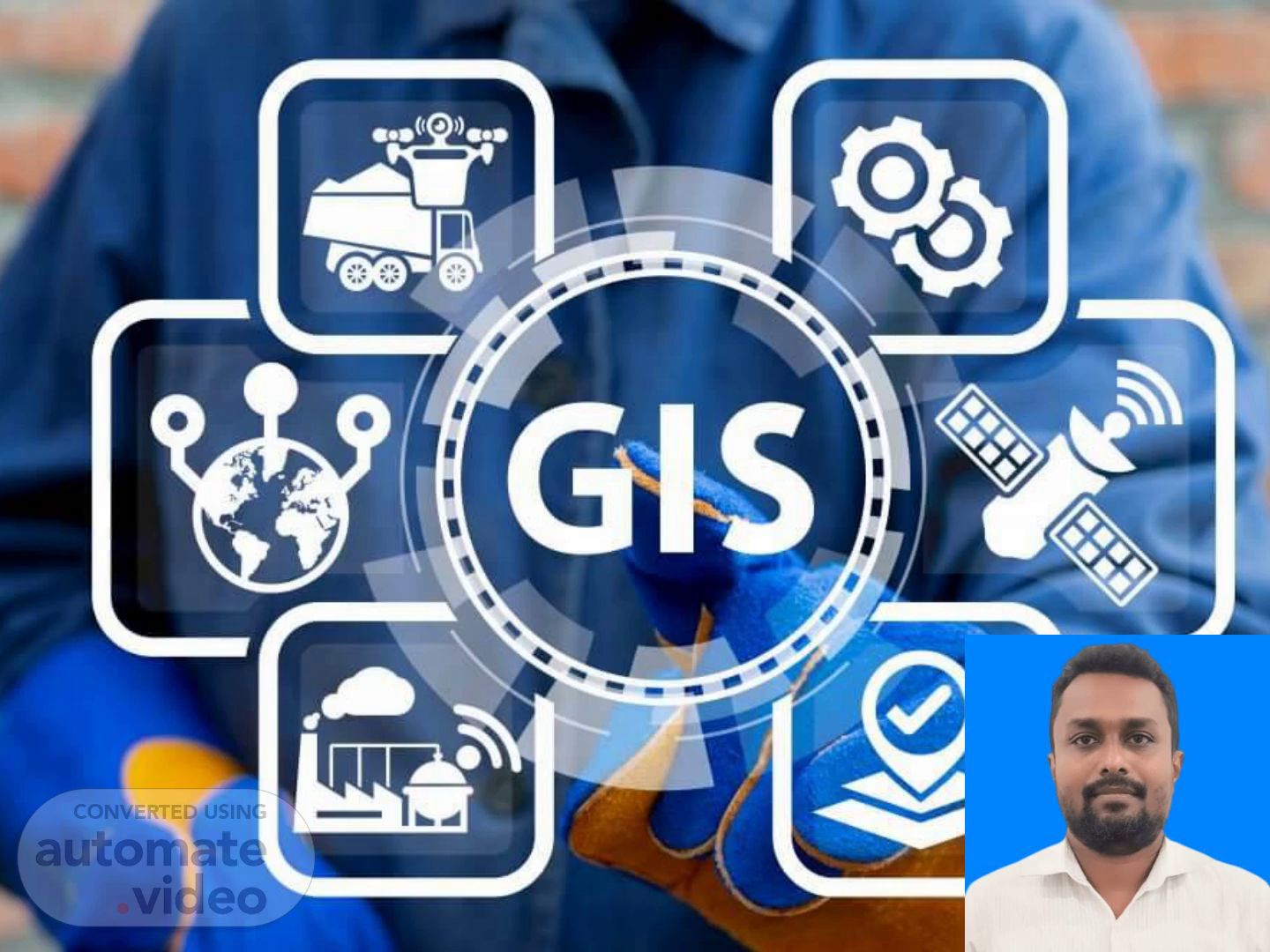
WhatisGIS? GIS-GeographicInformationSystemsAsystemofintegratedcomputerbasedtoolsforend to endprocessing(capture,storage,retrieval,analysis,display)ofdatausinglocationontheearth’ssurfaceforinterrelationinsupportofoperationsmanagement,decisionmaking,andscience..
Scene 3 (26s)
Technologies and G-I-S Global Positioning Systems (G-P-S--) Remote Sensing (R-S---) Software systems with capability for input, storage, manipulation/analysis and output/display of geographic (spatial) information.
Scene 4 (47s)
Visualization Process of G-I-S. Visualization Process of GIS.
Scene 5 (53s)
What G-I-S Applications Can Do: manage, analyze, communicate Automate activities involving geographic data ❖ Map production ❖ Calculation of areas, distances, route lengths ❖ Measurement of slope, angles ❖ Logistics: route planning, vehicle tracking, traffic management Using maps to communicate spatial patterns (for example environmental sensitivity). Provides answers to spatial queries (Travel time, Vegetation changes with time, Disasters) Perform complex spatial data modelling (scenarios for transportation planning, disaster management planning, resource management, utility design).
Scene 6 (1m 40s)
[Audio] The major areas of G-I-S application can be used Urban Planning, Management & Policy decision Politic related and development Military, Public safety and defense Natural resource management Utilities planning and arrangement Public health and health care The Geospatial industry Scientific research And many more……………...
Scene 7 (2m 6s)
Cals Vesi8nih8 our fuJcure.