Electrical Resistivity Tomography (ERT) Survey for Mineral Exploration – Chilas, Pakistan
Scene 1 (0s)
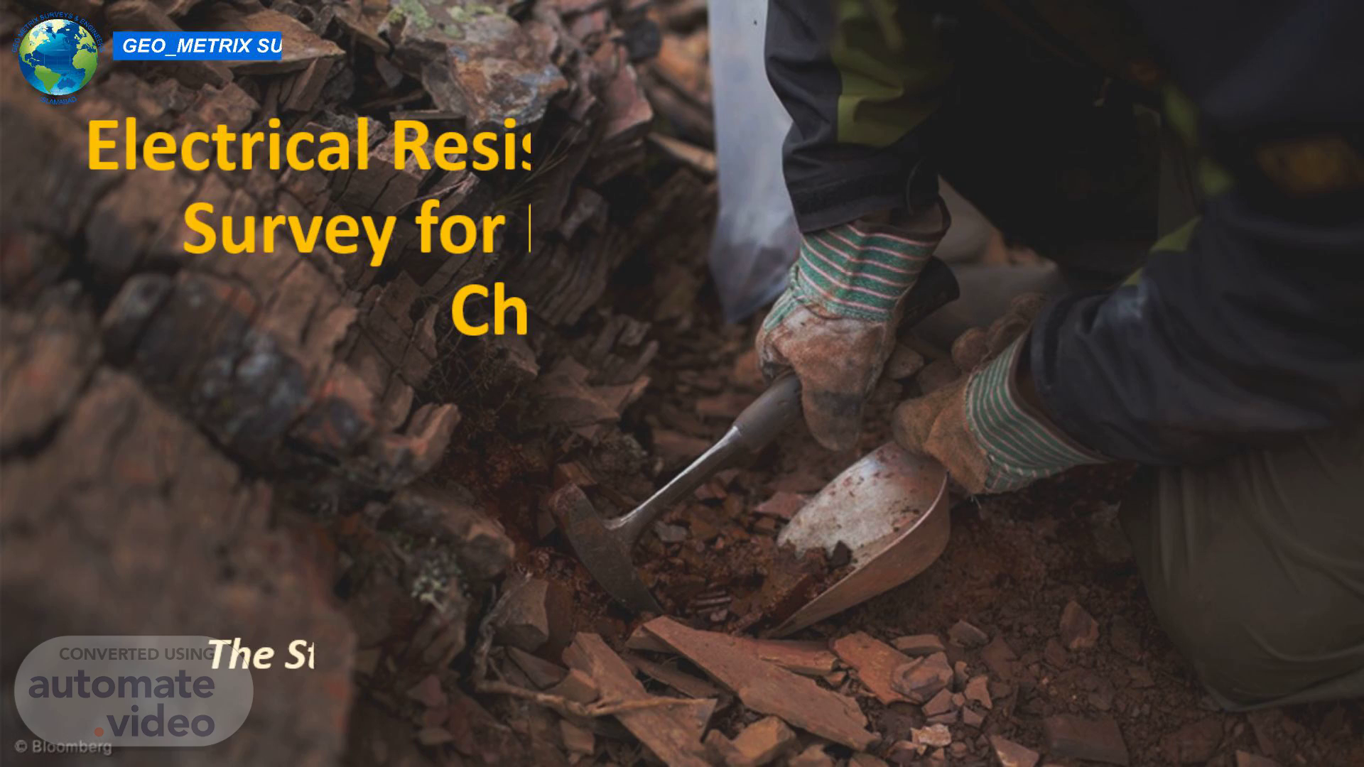
Electrical Resistivity Tomography (ERT) Survey for Mineral Exploration – Chilas, Pakistan.
Scene 2 (42s)
https://lens.usercontent.google.com/image?vsrid=CPGaha_60af-_wEQAhgBIiQ5MTk0Y2E5NS1iYWIzLTQyYjEtYTZiNC0xMWQyNWU5NDgxMjAyeyICd2UoAEJzCi5sZmUtZHVtbXk6ZWYyZjU1MzYtZDA2Zi00N2JiLTkwZWQtYzkyMzgxZWY0OWVjEkEKPy9ibnMvd2UvYm9yZy93ZS9ibnMvbGVucy1mcm9udGVuZC1hcGkvcHJvZC5sZW5zLWZyb250ZW5kLWFwaS81ODiXrPHvhfqUAw&gsessionid=ENmN1lvxev3B6eIL4Ed8EPQTjQgMVtJtEbU4Nld3DYXYqS9_V-IU1w.
Scene 3 (2m 51s)
EO METRIX SURVEYS & ENGINEERS. The project was undertaken to investigate the subsurface geological conditions and identify potential mineralized zones within the Area of Interest (AOI) located in Chilas. The survey employed Electrical Resistivity Tomography (ERT) techniques to map variations in subsurface resistivity, which may indicate the presence of mineral deposits, geological structures, fractures, alteration zones, and groundwater-bearing formations.
Scene 4 (4m 3s)
EO METRIX SURVEYS & ENGINEERS.
Scene 5 (4m 24s)
EO METRIX SURVEYS & ENGINEERS.